
ESTABLISHED 1860
Thandiani: A short history of the last hill station
Every hill station in the Galiyat exists because of heat. Thandiani exists because of a plan that was never finished, and that unfinished plan is the most interesting thing about it.
COLONIAL ERA
Why the British climbed the ridge
After 1857, the colonial government began garrisoning India with troops brought from Britain, soldiers who then had to survive summers on the Punjab plains that they were never built for.
The answer was the altitude
The forty-five-kilometer ridge running north from Murree, average elevation well above two thousand metres, thick with conifer, was chosen as a refuge, and by the mid-1870s troops were moving up mule tracks cut from Murree and Abbottabad.
"The first summers were spent under canvas. Then came permanent stone, and one of the quieter feats of Raj-era engineering: a ridge with no permanent water source, supplied entirely through elaborate rain-water harvesting, enough for garrisons, households, and the horses and mules that carried everything up. The hill stations of the Galiyat were, in effect, engineered oases."
THE STATIONS RISE
And Thandiani waits
When the North-West Frontier Province was carved out of Punjab in 1901, the Galiyat's status rose with it: a Governor's residence of considerable grandeur went up at Nathia Gali, government departments followed for the summer, and the string of stations, Khaira Gali, Changla Gali, Khanspur, Ghora Dhakka, Nathia Gali, took the shape they still hold.
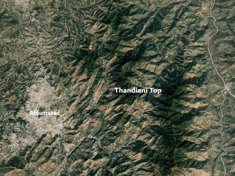
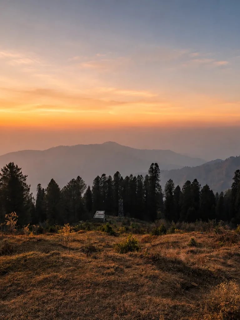
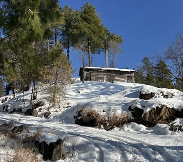
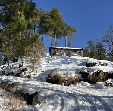
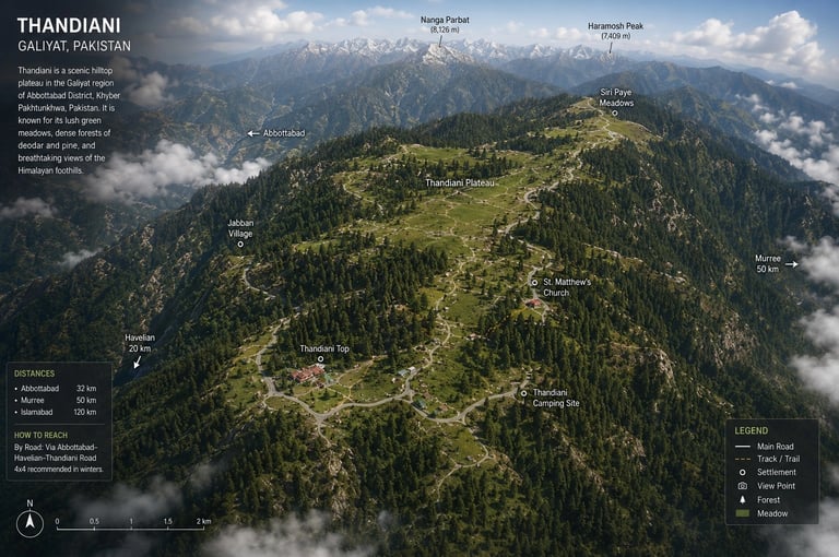
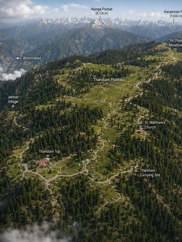
The ridge, however, does not end at Bara Gali. It runs on eastward through Dagri and Biran Gali before rising to its final height at Thandiani, at 9,300 feet, the highest and last station of the line, 37.5 kilometres northeast of Abbottabad.
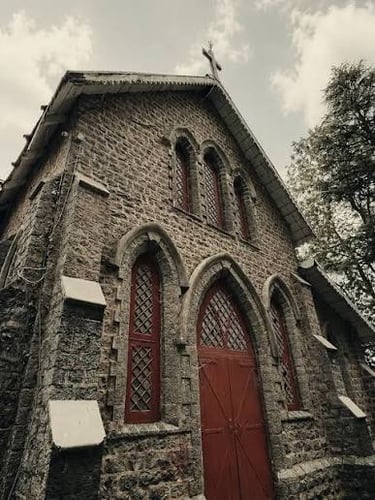
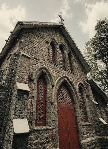
Development here had its own character: the land was leased to the Battye family, missionaries and soldiers of British India, who shaped the early station and later gifted their holding to church authorities, which is why a small European church still stands on a Himalayan ridge, one of the most unexpected buildings in the Galiyat.
The fuller development plan for the ridge's eastern end was overtaken by history. The First World War shelved it, and it was never resumed. The other stations grew; Thandiani stayed a sketch. Planned, then left, and, in being left, preserved.
From cantonment to public trust
Because the entire Galiyat had been built and regulated as a military cantonment, the whole ridge passed to the Pakistan Army at independence in 1947, which, having limited use for summer stations, declared the area surplus. In 1961 the Hazara Hill Tract Improvement Trust was created to run the abandoned cantonments as hill resorts, and in June 1999 its successor, the Galiyat Development Authority, took over, with the Thandiani township transferred into its care.
For most of a century, then, Thandiani has been the hill station that history skipped: garrisoned, planned, interrupted, handed down through four custodians, and left largely as the pines had it. Amid growing attention on the Galiyat's future, that inheritance, the emptiness the twentieth century forgot to fill, is exactly what makes the ridge worth visiting now.
Visit Thandiani
thandiani.pk is an independent guide to Thandiani and the eastern Galiyat, published as a hobby. We keep the information current; the mountain does the rest.
DIRECTORY
editor@thandiani.pk
© 2026 - Visit Thandiani
UPDATED REGULARLY